ArduSimple – Affordable Field Data Collecting with Centimeter Precision
In the ever-evolving world of geospatial technology, precision is paramount. That’s why we’d like to highlight the seamless integration of Locus GIS with ArduSimple devices, bringing professional-grade GNSS accuracy to your mobile surveying workflow.
ArduSimple, a company based in Andorra, offers affordable and ready-to-use GPS/GNSS RTK receivers that are changing the game for land surveyors and GIS professionals. These devices are tailored for both professional users and individuals, delivering traditional survey performance at a fraction of the cost.
For more information about ArduSimple and their range of products, visit their website at https://www.ardusimple.com/.
Why ArduSimple?
ArduSimple’s receivers leverage multi-constellation GNSS technology, tapping into GPS, GLONASS, Galileo, and BeiDou systems. This multi-system approach ensures robust positioning even in challenging environments. When paired with Locus GIS, you’re looking at centimeter-level accuracy that rivals traditional survey-grade equipment.
Together with ArduSimple experts, we’ve thoroughly tested several ArduSimple products and can confirm their compatibility with Locus GIS:
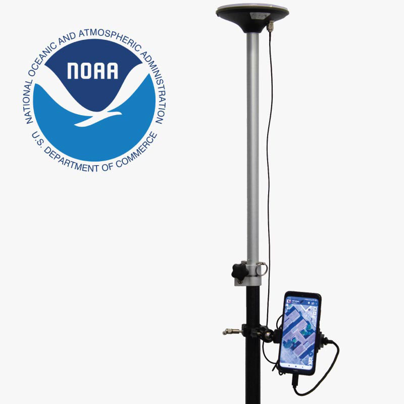
- RTK Calibrated Surveyor Kit: This comprehensive GNSS/RTK Calibrated Kit provides everything you need to start using your smartphone for licensed surveyor tasks and cadastre work.
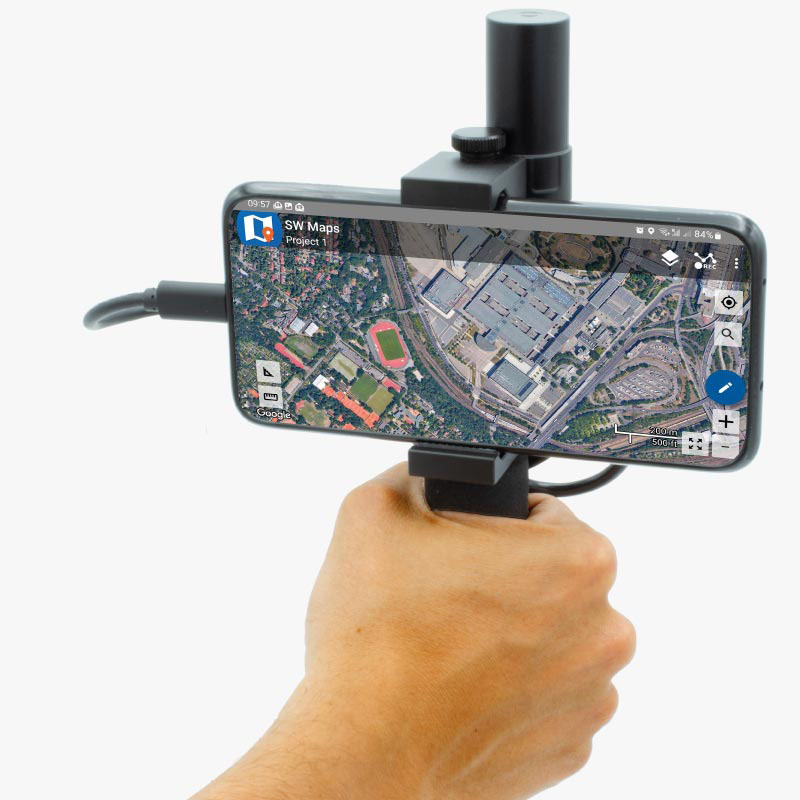
- RTK Handheld Surveyor Kit: Perfect for those who need to use their mobile phone for surveying tasks with centimeter-level accuracy.
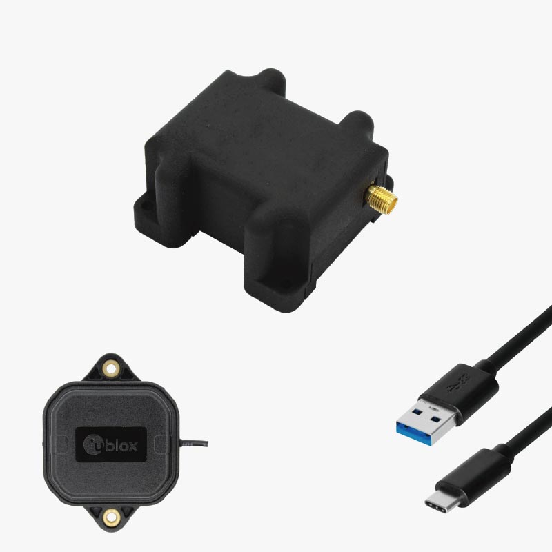
- RTK Portable Bluetooth Kit: A portable ZED-F9P RTK receiver and antenna with USB and Bluetooth, all housed in a plastic case. It comes pre-configured, allowing you to use it right out of the box.
These kits provide everything you need to start your surveyor tasks with RTK and centimeter-level accuracy. Plus, ArduSimple supports every customer by providing basic technical support for free within 24 hours, ensuring you have the assistance you need when you need it.
Perfect Companion to Locus GIS
Our app serves as the perfect companion to ArduSimple hardware. The ArduSimple connection is plug-and-play, requiring minimal setup time. This means less fiddling with equipment and more time collecting valuable data.
For detailed instructions on how to connect Locus GIS to devices like ArduSimple, check out our comprehensive manual. This guide walks you through the process step-by-step, ensuring you can get up and running quickly.
Real-world Impact
For GIS professionals, the combination of ArduSimple and Locus GIS opens up new possibilities. Whether you’re mapping utility infrastructure, conducting environmental surveys, or managing agricultural lands, the enhanced accuracy translates to better decision-making and more reliable spatial data.
The affordability of ArduSimple devices, coupled with their professional-grade performance, makes high-precision surveying accessible to a broader range of users. This democratization of technology allows smaller organizations and individual professionals to compete on a level playing field with larger, more established entities.

Comments
0