Locus GIS – Android GIS application
Locus GIS is an Android application for users which need to work with geospatial data on their phones or tablets. Application supports SHP files – display on map, edit parameters and also geometries. Application developed is based on cooperation with company T-Vector.
SHP file support
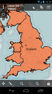
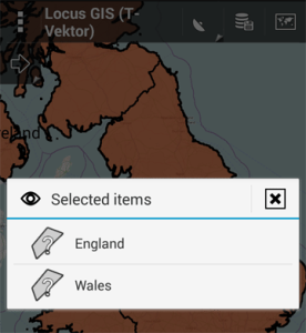
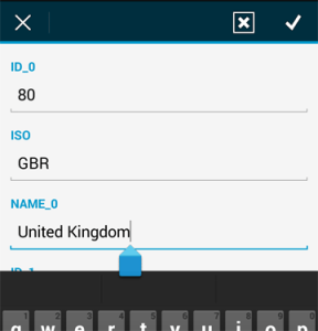
Locus GIS offers directed support of SHP files. So you can show SHPfiles on your Android device, set appearance of features or get parametric information. But this is only beginning, you can edit parametric data or even change the geometry of every feature in SHP file.
Data capture
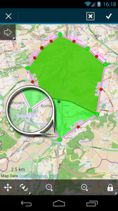
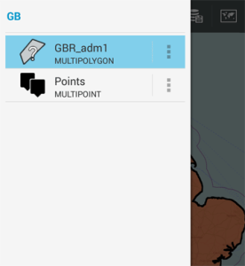
Locus GIS give you possibility to create lines or polygons on your tablet in the field. You can collect points and set arbitrary parametric values for every feature you create.
Prepared for teams
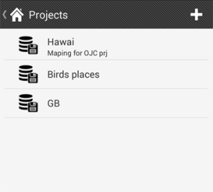
Do you need to work with data in team and want have the same data structure on all devices? No problem Locus GIS combine data into projects which are defined by templates. So you only need to create template from your base project and then share it between team members.
Export
Captured or edited features can be exported back into SHP files and then work with them in desktop GIS software.
How to download
The first testing version was available in Q1 / 2014. If you’re interested in this app and even testing it, please follow:
Locus GIS Beta testing community >>>
or contact Locus GIS helpdesk >>>.
Comments
6

Hello i have also the problem with no displaying angle. Its only the distance displayed. I own the pro version 2.18
Hello,
have you tried to check the settings as is described in previous post, please?
You can have a look to: Locus > open Menu > Settings > Guiding > Draw above/below guiding line > select Bearing.
Hello
I made the settings in this menu but it makes no different.
It works before the update to 2.18.
Hi,
strange behaviour. anyway I’ll check all your app settings. Please follow steps below:
– Open Locus > Menu > More > Backup manager
– Choose Backup only settings > define the name of backup
– Locus create new *.zip file in folder Locus/backup
– Send me please this file on support.locus@asamm.com for analysis
Can you please also create a screen-shot of main map screen where bearing is not shown.
Thank you
Hi,
need to notice that your issue is not related with Locus GIS. Anyway please check: Settings > Guiding > Draw above/below guiding line > Bearing. See article: https://asammsoftware.zendesk.com/hc/en-us/articles/200003082
If problem persist, please contact support on: support.locus@asamm.com
Hello after the update I can no longer let the angle show me.
Newly created waypoints, but only the distance.
I need information how I can display from a certain point of the distance and the angle.
I own the Pro – Version