Locus GIS Now Supports GLRM Device
We are pleased to announce that Locus GIS now seamlessly integrates with the GLRM RTK GNSS receiver from General Laser to enhance your field data collection with centimeter-level accuracy. This collaboration brings together the robust capabilities of Locus GIS and the advanced technology of the GLRM device, providing an efficient and affordable solution for geospatial professionals.
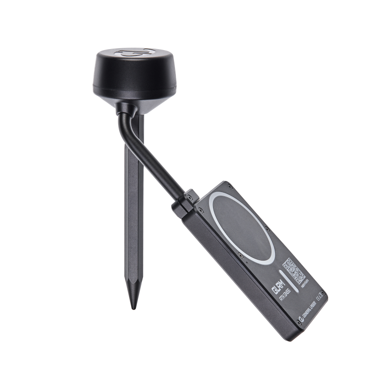
Introducing the GLRM
The GLRM is a compact, multi-band RTK GNSS receiver with tilt compensation that enables accurate measurements even when the unit is not perfectly level. Key features include
- Comprehensive GNSS Support: Tracks all major satellite constellations for reliable global positioning data.
- Tilt Compensation: Enables accurate measurements without the need to hold the instrument upright, increasing efficiency in the field.
- Compact and lightweight design: Measuring 110 × 70 × 65 mm and weighing only 260 g (including the mast antenna), it’s designed for portability and ease of use.
- Rugged construction: With an operating temperature range of -40°C to +85°C and an IP67 rating, the GLRM is built to withstand harsh environmental conditions.

Seamless Integration with Locus GIS
Integrating the GLRM with Locus GIS is easy – just add the device from the list of available devices in the GNSS Manager.
- Wireless Connectivity: The GLRM connects to your mobile device via Bluetooth Low Energy (BLE), ensuring a stable and energy-efficient connection..
- Real-time data streaming: Receive highly accurate positioning data directly into the Locus GIS application, facilitating real-time data collection and analysis.

Affordable precision for geospatial professionals
GLRM provides an economical solution for professionals seeking high precision GNSS capabilities without compromising quality. Its affordability, combined with the comprehensive features of Locus GIS, makes it an ideal choice for surveyors, environmental scientists, and GIS specialists.

Comments
0